AR for tourist attractions: four real projects, costs and lessons
Augmented reality works for tourism, heritage and cultural sites when it supports something visitors already want to do: find their way, discover the history of a place, explore artworks or check a programme. That is the main lesson from four visitor experiences we built: a treetop walk in Switzerland, an art biennale, a guide for a European capital and a film festival app.
Pixent Interactive is an AR development studio in Ahmedabad, India. These four projects combine interactive maps, location based content, image recognition and 3D storytelling. AR projects at Pixent start at $10,000, and a fixed scope Prototype Sprint costs $4,500 and takes 2 to 3 weeks. Below: what each project does, the decisions behind it, what we learned, and what drives the cost.
The four projects at a glance
| Project | What visitors see | Device | Key technology |
|---|---|---|---|
| Treetop walk, Switzerland | Life size people from the past, telling their stories on the path | Rented tablets, plus VR | Real people recorded in full 3D |
| Art biennale | A map of every artist, and artworks that appear in 3D | Visitors' own phones | Interactive map, AR and live content |
| Capital city guide | Historic buildings shown where they once stood | Visitors' own phones | Location tracking, sign scanning and 3D buildings |
| Film festival | The live programme, and a mascot that steps out of the posters | Visitors' own phones | Live programme data and poster scanning |
1. A treetop walk where history walks beside you
A treetop walk in Switzerland wanted visitors to meet the people who shaped the place. Signs and plaques could not hold the attention of families and younger visitors.
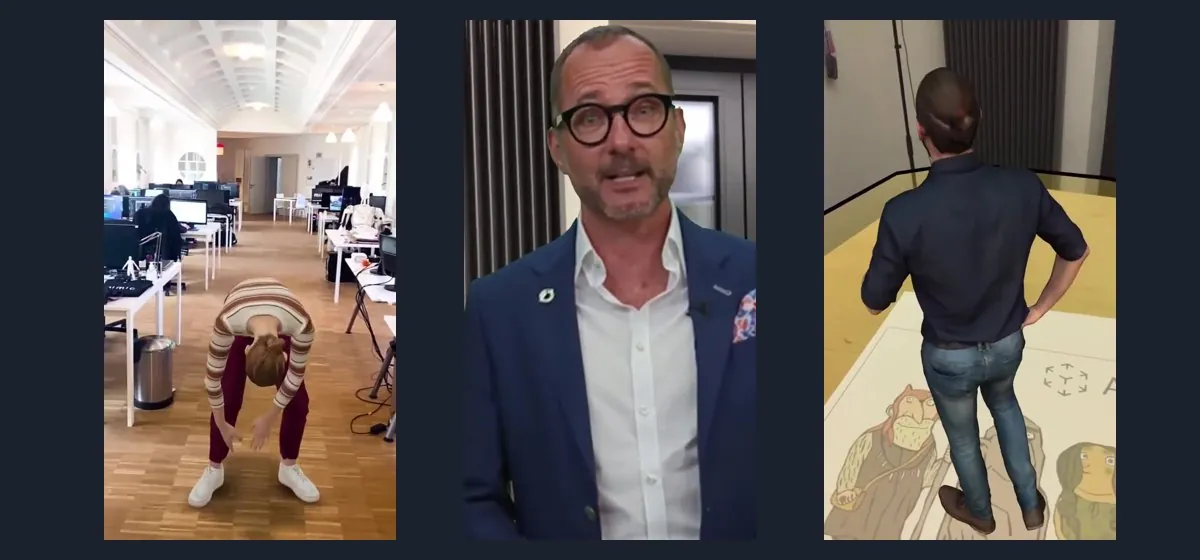
We turned the route into a journey with stops to discover. At each stop, a life size person from the past appears on the path and tells their story. Visitors can walk around them and see them from every side. The same story is also available in VR.
The decision: before building, we tested three ways of showing people side by side: an animated 3D character, filmed video, and a recording of a real person in full 3D. Animated people often look stiff or fake, and that breaks the story at once, so we chose the full 3D recording.
The trade off: those recordings are heavy, and tablets have limited power. We optimised every recording so it plays smoothly on a tablet, outdoors. Read the treetop walk case study.
2. An art biennale in your pocket
The biennale In Situ Paradise spreads artworks and artists across a whole town. First time visitors miss works, or spend the day looking for them.
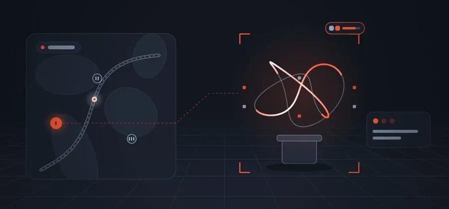
We built the official app. Visitors find every artist on a map, read their story, then point the phone to see artworks appear in 3D in the real world.
The decision: maps, AR and live content in one app can easily feel complicated, so we designed one simple flow: map first, then the artist, then the artwork in AR.
The trade off: content changed daily during the event. Instead of releasing app updates, we delivered content from the cloud through a secure system, so artists could update their own pages and the changes went live at once. Read the In Situ Paradise case study.
3. A city guide that puts history back on the streets
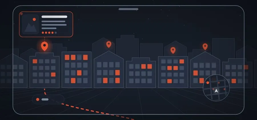
Much of a city's story is invisible today, because buildings have changed or disappeared. For a European capital we built a guide that leads visitors from landmark to landmark, then shows historic buildings and scenes in 3D, right where they once stood.
The decision: two jobs, two techniques. Detailed city maps and the phone's location find the right stop, and the phone's AR tracking then keeps the historic building in place on screen. Separately, signs and printed material along the route unlock extra stories when scanned.
The trade off: large 3D buildings are heavy for everyday phones. We optimised every model and used the AR tracking on iPhone and Android to keep them steady as people move, and we tuned the sign scanning outdoors at different times of day. Read the city guide case study.
4. A film festival app with a mascot that comes alive
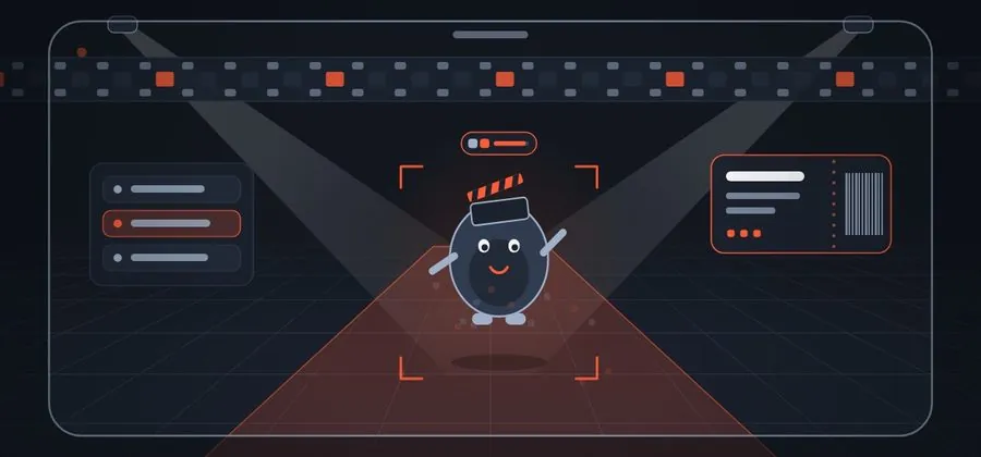
A European film festival needed one app every attendee could use. We combined the live programme, a way for industry professionals to find each other, and one piece of magic: scanning a festival poster brings the mascot to life.
The decision: schedules change constantly during a festival, so the app reads the festival's live data and every change reaches attendees at once. The AR is a small part of the app. Its job is to make a useful tool feel special.
The trade off: posters hang in busy venues with mixed lighting, so we tuned the poster recognition and tested it in the real venues, not only in the office. Read the film festival case study.
What we learned
Put the AR inside something visitors already need
Few people open an app only for an effect. In the biennale and festival apps, the map and the programme gave people a reason to open the app, and the AR was there when they did. The AR did not have to earn the download on its own.
Decide the device before anything else
The first decision is whose device the experience runs on. It changes the budget, the content and the daily work for your staff.
| Visitors' own phones | Rented tablets | |
|---|---|---|
| Good for | Whole towns, events and open sites | One site with a clear start and end |
| Quality | Must work on many different phones | You control the device, so heavier content is possible |
| Daily work | No devices to manage, but staff help visitors get started, and the app needs updates for new phones | Charging, cleaning, repairing and handing out devices |
| Income | Usually free for visitors | A rental fee can help pay for the project |
Test outside, at different times of day
AR that works in the office can fail in bright sun, rain or a crowded hall. For the city guide we tested the scanning of signs outdoors at different times of day. For the festival we tested poster scanning in real venues with mixed lighting.
Let your own team change the content
A guide is never finished. Artists change, exhibitions move and new stories turn up. Plan from the start for content your staff can update themselves, without a developer and without a new version of the app.
Choose carefully how you show people
If your story needs people from the past, test the options side by side before you commit. A real person recorded in 3D looks most alive, but the recordings are heavy, so they need careful work to play smoothly on a tablet outdoors.
Plan the launch as carefully as the guide
A guide that nobody hears about does not get used, however good it is. In our experience, far fewer visitors take it up when it is not promoted before opening day and kept visible afterwards.
Treat the launch as part of the project, not an afterthought. Plan a few weeks of posts and short videos before opening, show the guide at the ticket desk, and keep telling people about it after the first rush.
Using these lessons at a museum, heritage trail or visitor centre
Two of the four projects are events, and two are places people visit all year. The lessons carry over, but the weight shifts. An event app must work perfectly from day one and handle content that changes daily, for a few days. A permanent site runs for years, so device choice, staff routine, yearly updates and the launch matter more. In both, the AR works best inside a tool visitors already need, tested in the real conditions of the site.
Practical details that are easy to forget
- Weak signal. Forests, old town centres and crowded venues often have poor mobile signal. Keep the heavy content on the phone or the rented tablet, so no stop has to wait for a download.
- Location accuracy. A phone's position can be several metres out, and more between tall buildings. That is good enough to show a building at the right place on a street, as in the city guide. It is not enough to line a 3D object up exactly with a real wall, doorway or statue. If your idea needs that precision, plan for a visual reference at the stop from the start.
- Getting started. Put a QR code at the entrance and at the first stop, and give your staff one sentence to explain the guide. The first minute decides whether a visitor keeps using it.
- Accessibility. Give every spoken story subtitles or text, and make sure the route still works for visitors who do not use the guide. Requirements vary by country, organisation and type of project, and many public bodies follow the WCAG accessibility guidelines. If you run a public attraction, confirm which standards apply before the project starts, and plan accessible content from the beginning rather than adding it at the end.
- Upkeep. Phone systems change every year. Plan a yearly check and update, so the guide keeps working on new phones.
What drives the cost
At Pixent, AR projects start at $10,000. Where a project lands above that depends on a handful of decisions. You make most of them in the first week.
| Decision | Keeps the cost down | Pushes the cost up |
|---|---|---|
| Number of stops | A few stops on one route | Many stops, several routes |
| 3D content | You supply models, photos or scans | We create models and scenes, or record real people in 3D |
| Where it runs | One platform, or the web browser | iPhone and Android apps, plus tablets or VR |
| Devices | Visitors' own phones | Tablets you buy, set up and look after |
| Content updates | Content fixed at launch | A system your staff use to update it |
| Offline use | The essential content stored on the device | The whole experience works without signal |
| Accessibility | Subtitles and text for every story, included as standard | Additional requirements, such as a formal standard to meet |
| Languages | One language | Several languages, each with its own text and audio |
| After launch | Your own team looks after updates | Yearly updates and support |
You do not have to decide everything at once. A Prototype Sprint costs a fixed $4,500 and takes 2 to 3 weeks. You get one working stop on the real device, which you can show to your team, your board or your funders before you commit to the whole route.
Can tablet rentals pay for it?
If visitors rent the guide, the rental fee can cover the project over time. How fast depends on three numbers you know better than we do: visitors per year, the share who rent, and the rental fee. Here is how to work it out, with example numbers that are not taken from any client:
| Example | Visitors a year | Share who rent | Fee | Gross rental income a year |
|---|---|---|---|---|
| Scenario A | 40,000 | 20% | $9.99 | $79,920 |
| Scenario B | 40,000 | 40% | $9.99 | $159,840 |
This is gross income, before any costs. To estimate when the project pays for itself, first add up everything you spend at the start: development, tablets and setup. Then take the yearly rental income and subtract the yearly running costs: repairs and replacements, charging and cleaning, staff time at the desk, payment fees and taxes. If something is left, divide the start up cost by it. The result is a rough number of years to break even.
Set the fee high enough to cover the upkeep of the tablets. Then plan the launch well, because the share who rent depends heavily on how many visitors know the guide exists.
A useful first step: walk your own route and write down the three places where visitors most often ask "what was here?" Those are your first three stops.
Planning an AR trail or visitor experience? Book a 30 minute call and we will tell you what a 2 to 3 week Prototype Sprint can prove for your site.
Questions people ask
Do visitors have to install an app?
In the four projects here, visitors either installed an app on their own phone or rented a tablet with everything ready. AR can also open from a link in the web browser, known as WebAR, with nothing to install. Whether that works for a whole route depends on the phones your visitors carry, the signal on site and how heavy the content is. For a single exhibit or a short campaign it is often the simplest option.
Can our own staff change the content?
Yes, if it is planned from the start. In the biennale app, artists updated their own pages during the event. In the city guide, new places and stories were added without visitors having to update the app.
How long does an AR guide take to build?
A first working stop on your route, running on the real device, takes 2 to 3 weeks. The full project depends on how many stops you want and how much 3D content they need. You get a timeline and a quote in the first week.
What does an AR guide cost?
At Pixent Interactive, AR projects start at $10,000. The number of stops, the 3D content, the devices and the content system decide how far above that a project goes. You can begin with a Prototype Sprint for a fixed $4,500, which gives you one working stop to show your team and your funders before you commit to the whole route.